
Is today a good day to fly my drone?
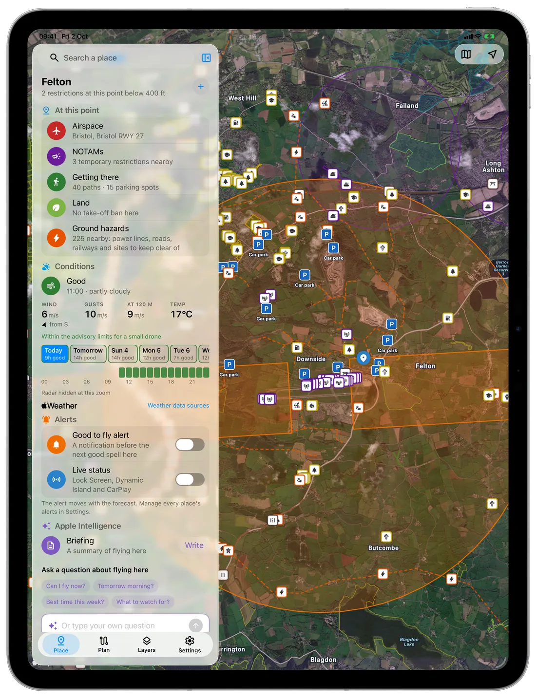
The forecast in FPV Airspace rates every hour of the coming week for your drone, using the wind at the ground and at 120 m (400 ft), gusts, rain, cloud and visibility. The airspace and land rules for the spot are on the same screen.
£2.49 a month or £19.99 a year after the free week; cancel any time. One subscription covers the apps, the web map and your AI assistant.
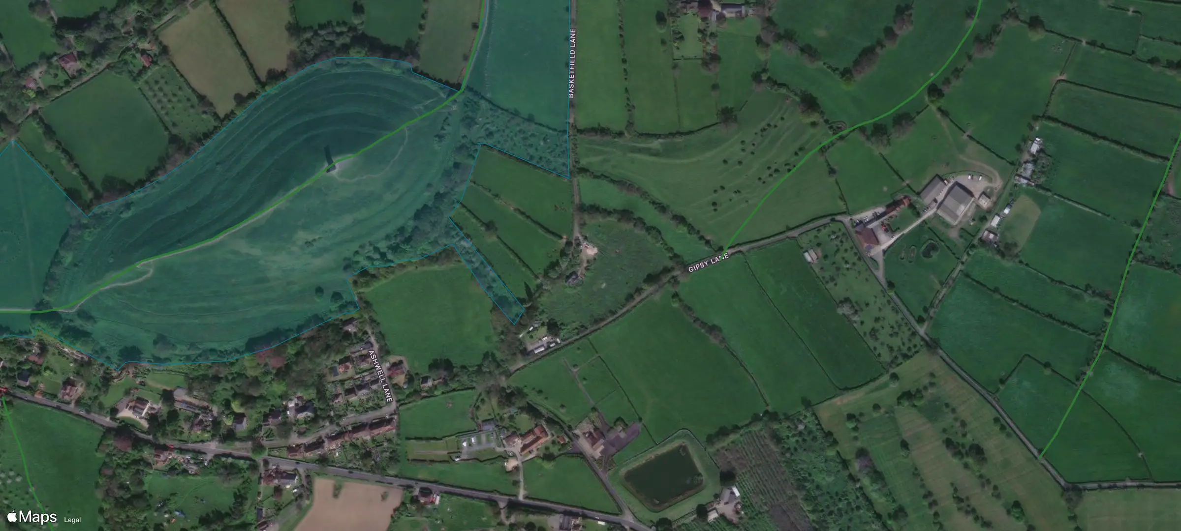
- Take-off
- Restricted by the landowner. National Trust byelaws ban taking off or landing a drone on Trust land without its permission.
- Airspace
- No restriction in our data. UK danger areas are not in it yet, so the app does not call the spot clear.
- NOTAMs
- One covers it: B1586/26, Yeovilton radar service hours.
- Path
- Public footpath 15/11, 45 m (Somerset)
- Parking
- Car park, 353 m
- Hazards
- A361 trunk road, 313 m
Checked at 10:03 UTC on 2 October 2026.
See what stops you flying there, and where each rule comes from
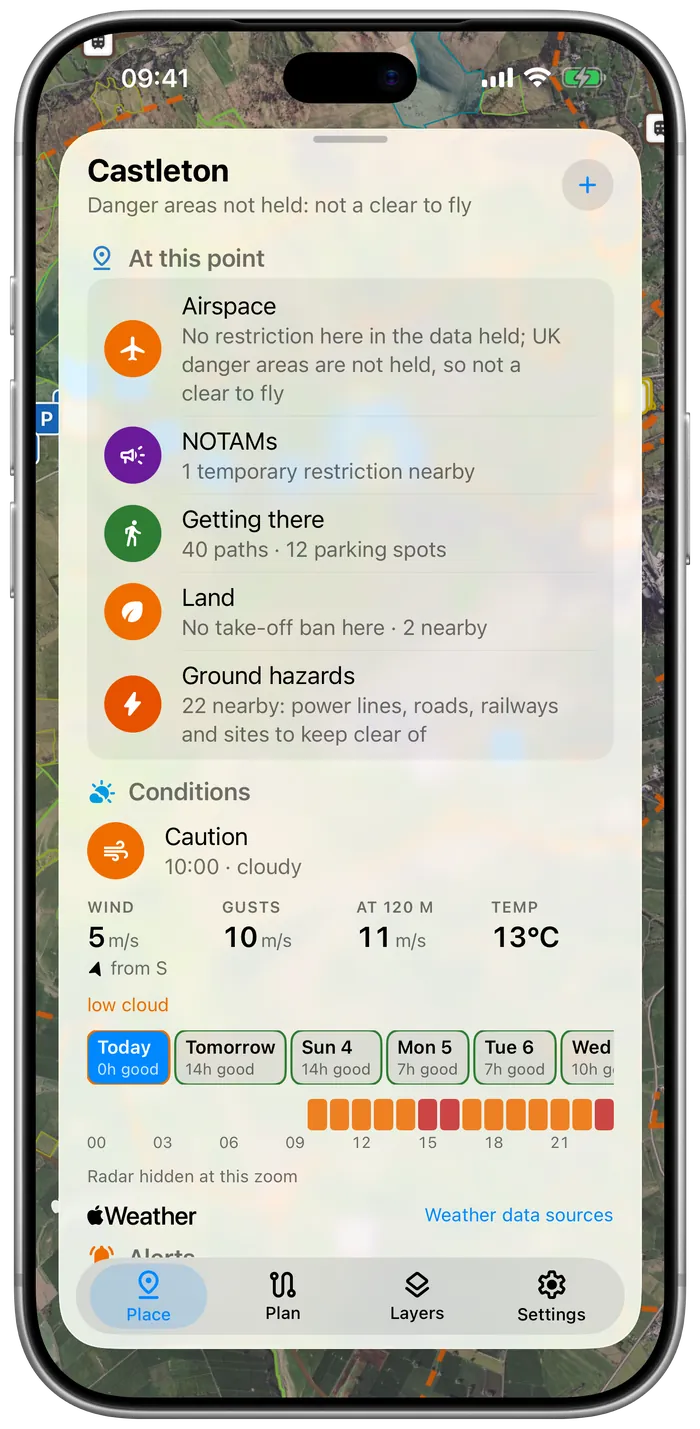
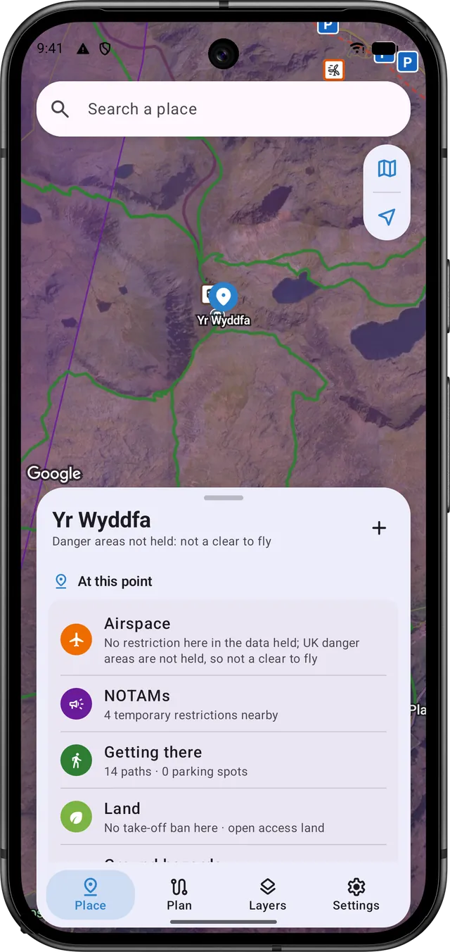
Tap the map, or search for a place, an address or coordinates. The card tells you whether you can take off there, and every line names its source, so you can check it yourself.
Airspace
Each zone over the spot, with its height limits, who can give permission and the law or authority that sets it. Where our data lacks a kind of zone (UK danger areas, for now), the card says so and never calls the spot clear.
NOTAMs
Temporary restrictions over the spot come first, then the ones nearby, with their times and height limits.
Getting there
Rights of way and car parks, nearest first. A right of way lets you pass along it, which isn't the same as permission to fly from it.
Land
Landowners and councils can stop you taking off where the airspace allows it. You see National Trust and Forestry England land, council byelaws and protected nature sites, and whether you're on open access land.
Ground hazards
Power lines, railways, roads, masts and substations near the spot, from OpenStreetMap, so you can pick a take-off point away from them.
Of 1,046 NOTAMs on 2 October, this one stops drones flying at Duxford on Saturday
The ones that cover your spot come before those nearby. That day, six gave no position we could plot, and FPV Airspace listed them separately, in full.
- Series
- J1470/26
- Q-code
- QRTCA
- Centre
- 52 05N 000 08E
- Radius
- 3 NM
- Limits
- SFC to 4,500 FT AMSL
- Valid
- 03 OCT 1000Z to 03 OCT 1700Z
RESTRICTED AREA (TEMPORARY) ACTIVE (DUXFORD). WI 2.2NM RADIUS OF PSN 520528N 0000757E. APPLIES TO ALL ACFT INCLUDING ANY SMALL BALLOON, ANY KITE, ANY UAS AND ANY PARACHUTE INCLUDING A PARASCENDING PARACHUTE OR PARAMOTOR. DOES NOT APPLY TO ANY ACFT FLYING IN ACCORDANCE WITH EXCEPTIONS STATED IN THE AIC. AIC M 057/2026 WITH CHART, REFERS. FURTHER DETAILS WWW.NATS.AERO/AIS. RESTRICTION OF FLYING REGULATIONS MADE UNDER ARTICLE 239 OF THE AIR NAV ORDER 2016. AR-2026-2109/01.
J1470/26 QRTCA: 52.08333, 0.13333 radius 3 NM (5.56 km), 1.93 km from point; SFC to 4500FT AMSL; valid 2026-10-03 10:00Z to 2026-10-03 17:00Z
What it means, in our words: a temporary restricted area round Duxford airfield, from the ground to 4,500 ft, from 11:00 to 18:00 UK time on Saturday 3 October. It names drones (UAS) among the aircraft it applies to, so unless an exception in AIC M 057/2026 covers you, you can't fly there while it's active.
The app draws the 3 NM circle from the NOTAM's Q-line, which is wider than the 2.2 NM in its text, and gives you the full text as well.
Is the wind at 120 m (400 ft) too strong for your drone?
You get the wind and gusts at the ground and at 120 m, with rain, cloud and visibility, for every hour of the coming week. Each hour is rated good, caution or poor against a small drone's limits, or your own drone's once you choose it, with the reason whenever it isn't good.
| Hour | 05 | 06 | 07 | 08 | 09 | 10 | 11 | 12 | 13 | 14 | 15 | 16 | 17 | 18 | 19 | 20 | 21 |
|---|---|---|---|---|---|---|---|---|---|---|---|---|---|---|---|---|---|
| Rating | good | good | good | good | poor | poor | poor | poor | poor | poor | poor | good | good | good | good | good | good |
| Wind | 2.5 | 2.2 | 1.8 | 1.7 | 1.6 | 1.4 | 1.3 | 1.3 | 0.8 | 1.5 | 0.7 | 0.8 | 0.7 | 0.5 | 0.6 | 0.6 | 0.6 |
| Gusts | 4.8 | 4.7 | 4.1 | 3.3 | 3.4 | 3.2 | 2.7 | 2.5 | 2.5 | 2.7 | 2.7 | 1.7 | 1.8 | 1.4 | 0.9 | 1.0 | 0.9 |
| Wind, 120 m | 6.9 | 6.1 | 5.5 | 5.3 | 4.6 | 3.8 | 2.9 | 2.8 | 2.1 | 2.4 | 1.5 | 1.0 | 0.8 | 0.6 | 0.6 | 0.7 | 0.5 |
| Rain chance, % | 5 | 5 | 8 | 5 | 20 | 23 | 28 | 23 | 20 | 13 | 13 | 5 | 3 | 0 | 0 | 0 | 3 |
- Good
- Caution: close to a small drone's limits
- Poor: beyond them
Not good because of rain from 09:00 to 15:00; low cloud at 10:00 to 11:00 and 14:00.
Draw a waypoint flight and load it into DJI Fly or Litchi
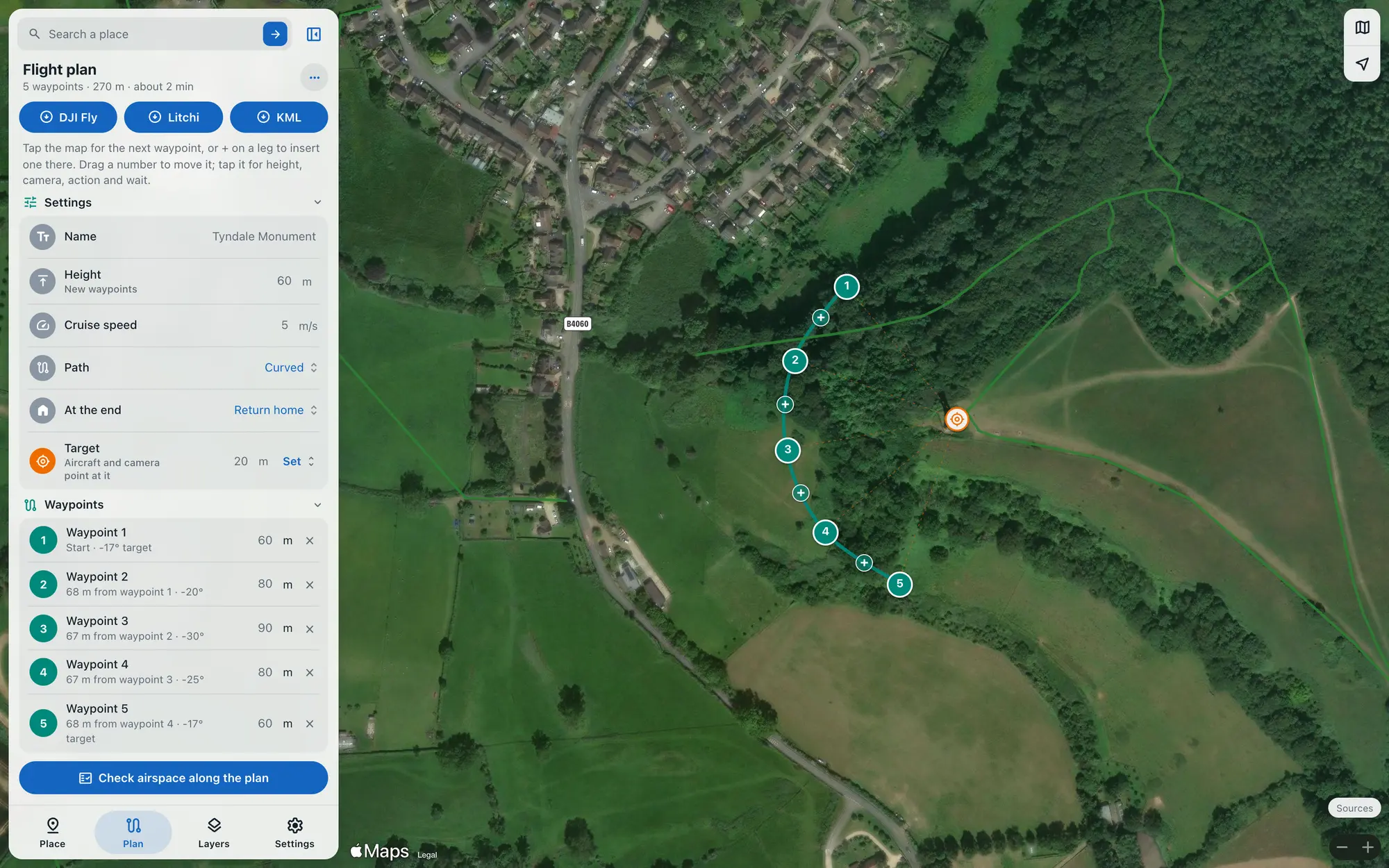
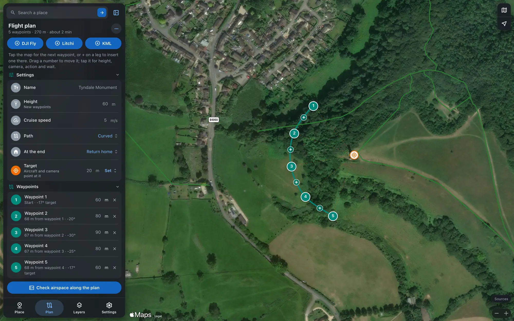
Tap waypoints onto the map, then set each one's height, camera tilt and hover time, and a point for the drone to face. The route is checked against the airspace while you draw, and any waypoint inside a zone or NOTAM is flagged.
| For | File | How it goes in |
|---|---|---|
| DJI Fly | Waypoint mission, KMZ | DJI Fly has no import button, so the file replaces a mission you've already saved. FPV Airspace takes you through it step by step. |
| Litchi | Mission Hub, CSV | Import it in Litchi's Mission Hub, then open the mission in the Litchi app. |
| Google Earth | KML | Look over the route in 3D, or send it to someone. |
Plan the night before and check again at the gate
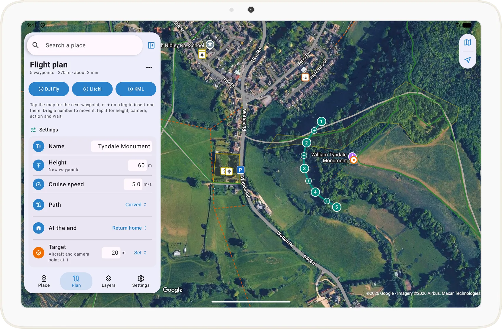
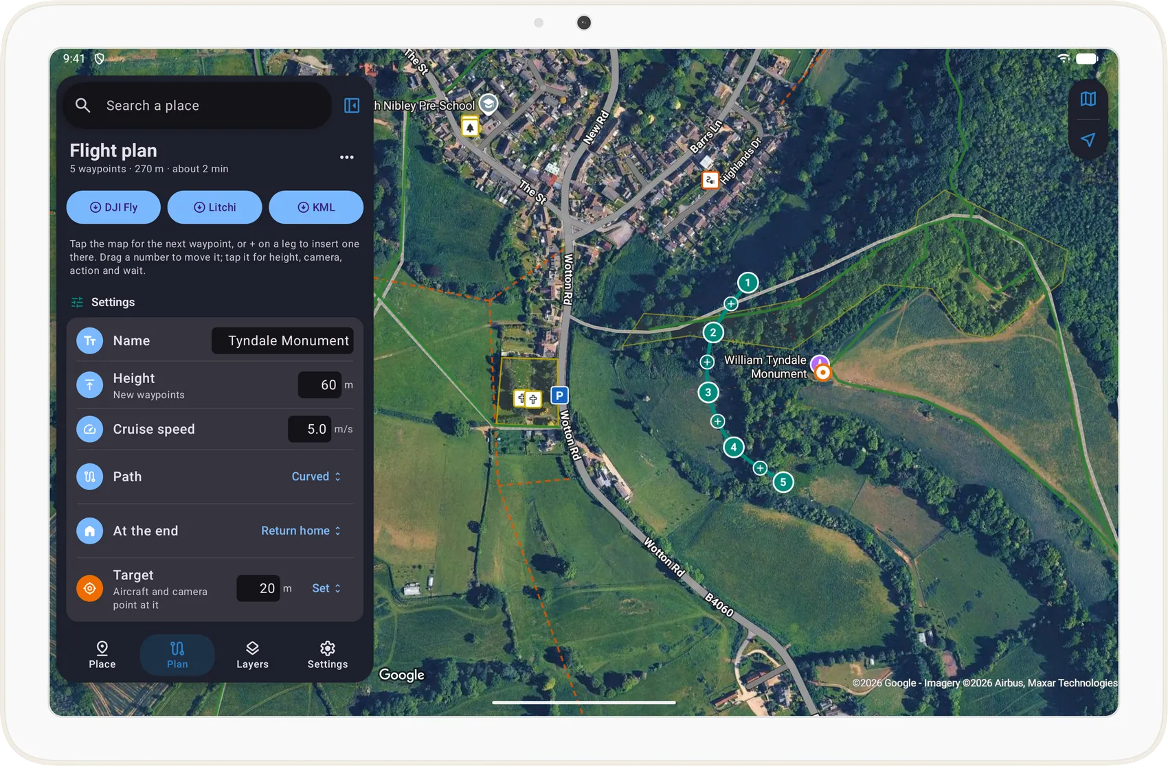
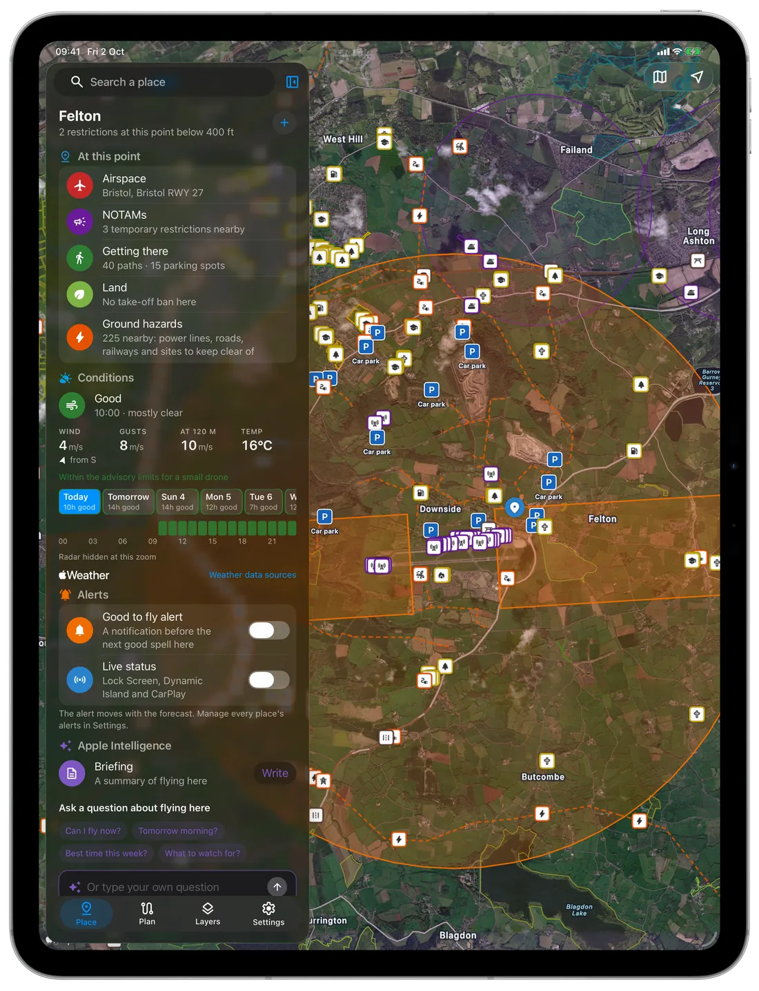
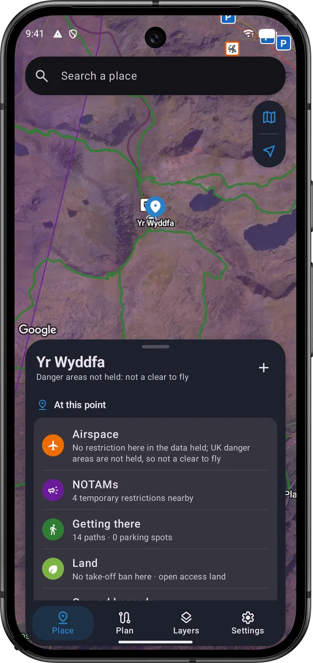
You get the same answers on your phone, tablet and computer, and on the car's screen through CarPlay and Android Auto.
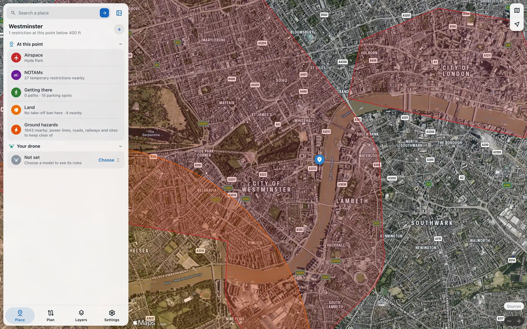
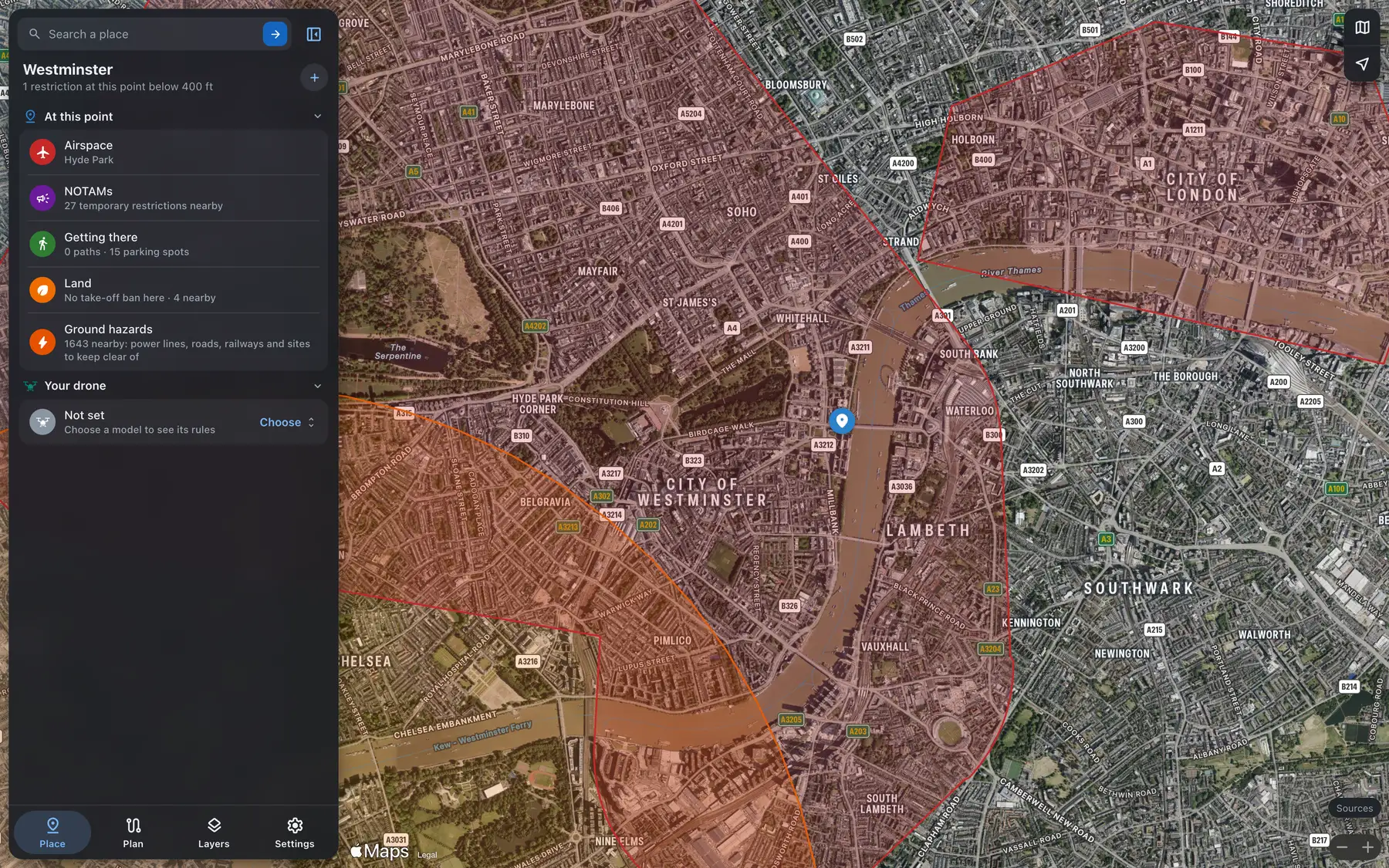
- iPhone and iPad
- Mac with Apple silicon
- Android phones and tablets
- CarPlay and Android Auto
- Lock Screen, Dynamic Island and Live Updates
- Home Screen widgets
- An alert before the next good spell of flying weather
- Briefings written on your phone by Apple Intelligence or Gemini Nano
- The web map in any browser, drawn on Apple Maps
- Claude and other AI assistants, over MCP
Ask Claude the way you'd ask a friend who flies
Type or say the question, and FPV Airspace answers from the same data as the apps, with a map of the spot. It also works in any assistant that connects to remote MCP servers with sign-in.
- Copy the address below.
- In Claude, open Settings, Connectors, Add custom connector, and paste it.
- Sign in when it asks and allow access. Your subscription covers it.
https://api.fpv-airspace.app/mcpThe 14 tools your assistant can use, all read-only
- Check airspace at a location
- Look up an aerodrome zone
- Check NOTAMs and TFRs at a location
- Check airspace along a route or area
- Check a take-off site
- Find parking near a location
- Check drone weather
- Check drone rules
- Pre-flight briefing
- Check terrain
- Plan a flight and export it
- Find take-off spots
- Geocode a place
- Data status and attribution
“Can I fly my Mini 4 Pro at the Tyndale Monument on Saturday morning?”
Preflight for Tyndale Monument, Stroud: caution. No restriction from the data held at this point, but UK danger areas (military ranges and the like) are not held here, so this is not a clear to fly: check the UK AIP danger area chart and NOTAMs. Weather in the window is rated poor for a small drone. Weather poor from 09:00, wind 2 metres per second. Check the full NOTAM list and remember this is not an official briefing.
The briefing tool's real answer on 2 October 2026, cut short at its list of sources.
Does it work outside the UK?
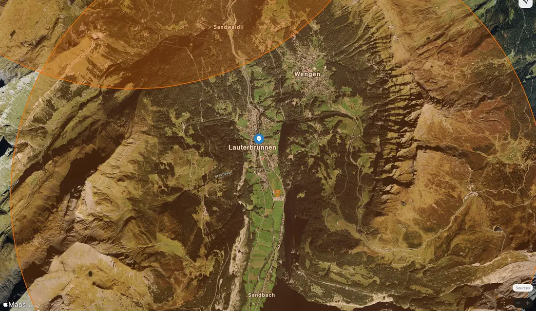
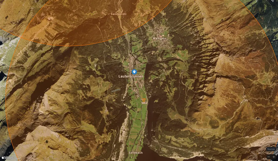
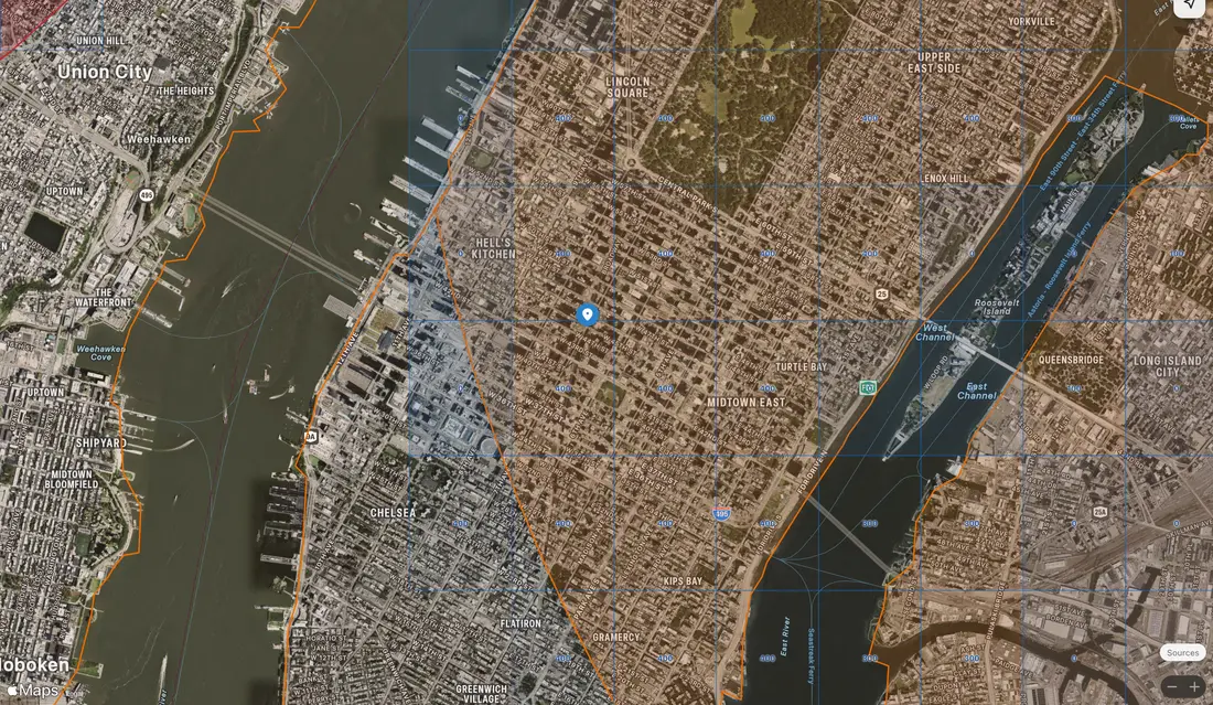
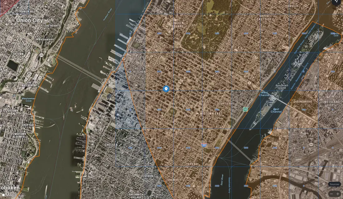
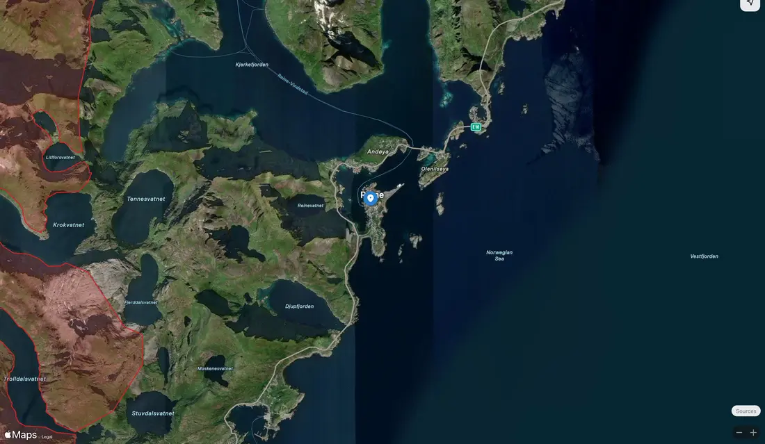
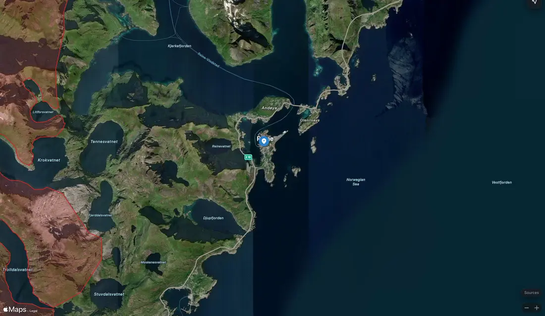
Everything on this page works in the UK. In the United States, France, Switzerland, Liechtenstein, Norway, Sweden, Finland and Luxembourg, FPV Airspace has every drone zone the country publishes as open data. Elsewhere it has some of the rules, such as aerodrome distances, protected areas or built-up districts, and says which.
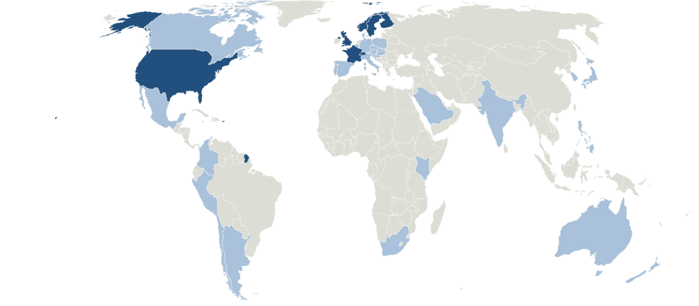
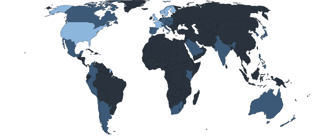
- Every published drone zone
- Some rules only
- Not covered yet
£2.49 a month after a free week
| Plan | Price |
|---|---|
| Monthly | £2.49 a month |
| Annual | £19.99 a yearSave 33% |
Both plans include the apps on iPhone, iPad, Mac and Android, the web map and planner, your AI assistant and every country we cover. Subscribe once, where you'll use it most, and sign in with the same account everywhere else.
Subscribe in the app on a phone or tablet
Get FPV Airspace from the App Store or Google Play and start your free week there. To use the web map as well, choose Sign in on this site and approve it in the app under Settings, Account, Sign in on the web.
Search for FPV Airspace in the App Store or Google Play.
Subscribe here if you only use a computer
You can use the web map and your AI assistant without the app. Start a free week here, then pay on the web. If you get the app later, sign in with this account instead of subscribing again.
Cancel any time, in the place you subscribed: your Apple Account settings, Google Play, or your account page here.
FPV Airspace helps you plan. It isn't an official pre-flight briefing. Before every flight, check the official sources, the NOTAMs in force and the rules for the land you take off from, and fly within your drone's rules.
No adverts and no analytics. The places you look up are used to answer you and aren't stored with your account. Privacy policy.
Built from official and open data. Sources and licences.
Made in the UK by Fetch Labs, a small independent company. We're not affiliated with any aviation authority, NATS or DJI.